File:Sanborn Seattle 1904-1905 map 134.jpg
Jump to navigation
Jump to search

Size of this preview: 402 × 600 pixels. Other resolutions: 161 × 240 pixels | 322 × 480 pixels | 515 × 768 pixels | 686 × 1,024 pixels | 1,382 × 2,061 pixels.
Original file (1,382 × 2,061 pixels, file size: 335 KB, MIME type: image/jpeg)
File history
Click on a date/time to view the file as it appeared at that time.
| Date/Time | Thumbnail | Dimensions | User | Comment | |
|---|---|---|---|---|---|
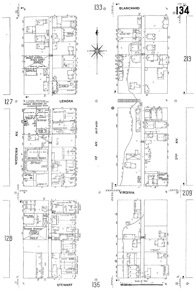
| current | 18:07, 4 October 2008 | | 1,382 × 2,061 (335 KB) | commons>Jmabel | == Summary == {{Information |Description=1905 map of part of Seattle, Washington. The map extends from Western Avenue northeast to Second Avenue and from Stewart Street northwest to Blanchard Street. Above Virginia Street is part of the Belltown neighborh |
File usage
There are no pages that use this file.