File:Sanborn Seattle 1893 map 51a - transformed.jpg
Jump to navigation
Jump to search

Size of this preview: 471 × 599 pixels. Other resolutions: 189 × 240 pixels | 377 × 480 pixels | 604 × 768 pixels | 805 × 1,024 pixels | 1,371 × 1,743 pixels.
Original file (1,371 × 1,743 pixels, file size: 329 KB, MIME type: image/jpeg)
File history
Click on a date/time to view the file as it appeared at that time.
| Date/Time | Thumbnail | Dimensions | User | Comment | |
|---|---|---|---|---|---|
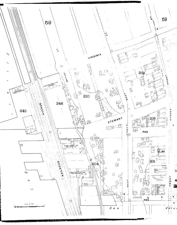
| current | 20:31, 4 October 2008 | | 1,371 × 1,743 (329 KB) | commons>Jmabel | == Summary == {{Information |Description=1893 map of part of Seattle, Washington. The map extends from the waterfront northeast to Front Street (now First Avenue) and from Pike Street northwest roughly to Virginia Street. Most of what is visible here now |
File usage
There are no pages that use this file.