File:Sanborn Hudson MA 1888 key map.png
Jump to navigation
Jump to search

Size of this preview: 514 × 600 pixels. Other resolutions: 206 × 240 pixels | 411 × 480 pixels | 658 × 768 pixels | 877 × 1,024 pixels | 1,755 × 2,048 pixels | 2,728 × 3,184 pixels.
Original file (2,728 × 3,184 pixels, file size: 143 KB, MIME type: image/png)
File history
Click on a date/time to view the file as it appeared at that time.
| Date/Time | Thumbnail | Dimensions | User | Comment | |
|---|---|---|---|---|---|
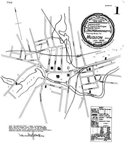
| current | 07:30, 14 June 2005 | | 2,728 × 3,184 (143 KB) | commons>SPUI~commonswiki | {{PD}} 1888 Sanborn map of Hudson, Massachusetts - this is the upper right part of sheet 1. category:Sanborn mapscategory:Hudson, Massachusetts |
File usage
There are no pages that use this file.