File:SanArdoAerial.jpg
Jump to navigation
Jump to search
Size of this preview: 776 × 600 pixels. Other resolutions: 311 × 240 pixels | 621 × 480 pixels | 994 × 768 pixels | 1,280 × 989 pixels | 2,200 × 1,700 pixels.
Original file (2,200 × 1,700 pixels, file size: 473 KB, MIME type: image/jpeg)
File history
Click on a date/time to view the file as it appeared at that time.
| Date/Time | Thumbnail | Dimensions | User | Comment | |
|---|---|---|---|---|---|
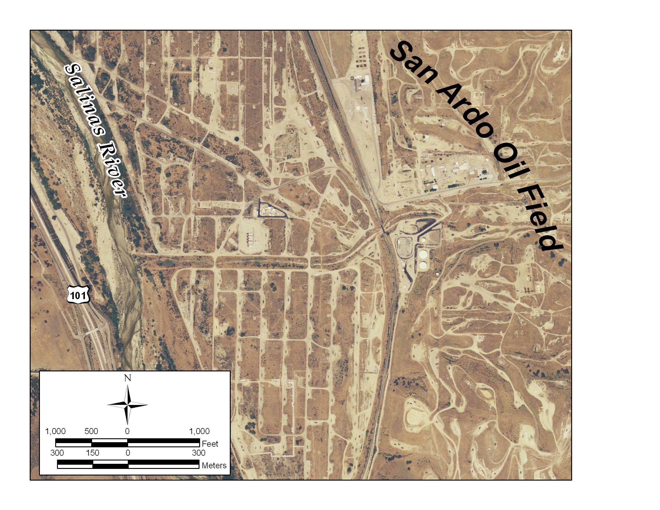
| current | 16:17, 14 November 2010 | | 2,200 × 1,700 (473 KB) | commons>Matthiasb | {{Information |Description={{en|San Ardo Oil Field, with aerial photograph. By en:User:Antandrus using ArcGIS 9.2. Aerial from USDA NAIP data set (public domain); all data on this map is in the public domain.}} |Source=Transferred from [http://en.w |
File usage
There are no pages that use this file.