File:SalmRiverArdennesMap.PNG
Jump to navigation
Jump to search
No higher resolution available.
SalmRiverArdennesMap.PNG (692 × 500 pixels, file size: 111 KB, MIME type: image/png)
File history
Click on a date/time to view the file as it appeared at that time.
| Date/Time | Thumbnail | Dimensions | User | Comment | |
|---|---|---|---|---|---|
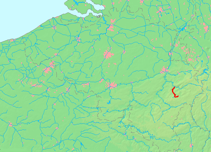
| current | 13:28, 3 June 2009 | | 692 × 500 (111 KB) | commons>Kallewirsch | {{Information |Description={{en|1=Location of the Salm River in the Ardennes}} {{de|1=Lage des Flusses Salm in belgischen Flußnetz}} |Source=Owm work |Author=Kallewirsch |Date= |Permission= |other_versions= }} Karte selbst erstellt auf Basis der von MapB |
File usage
There are no pages that use this file.