File:Sakurajima Landsat image.jpg
Jump to navigation
Jump to search

Size of this preview: 637 × 600 pixels. Other resolutions: 255 × 240 pixels | 510 × 480 pixels.
Original file (800 × 753 pixels, file size: 86 KB, MIME type: image/jpeg)
File history
Click on a date/time to view the file as it appeared at that time.
| Date/Time | Thumbnail | Dimensions | User | Comment | |
|---|---|---|---|---|---|
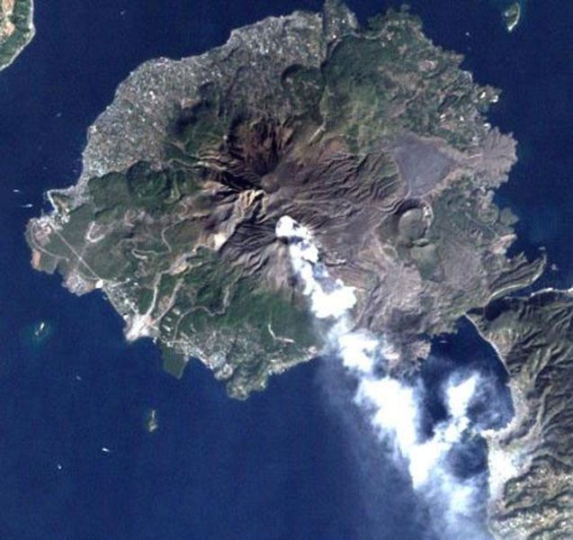
| current | 12:12, 16 October 2006 | | 800 × 753 (86 KB) | commons>Pazuzu | Sakurajima volcano, Japan, imaged by Landsat satellite. From [http://landsat.usgs.gov/gallery/]. {{PD-USGov-NASA}} Category:Sakurajima |
File usage
There are no pages that use this file.