File:Saitama-ken géolocalisation relief.svg
Jump to navigation
Jump to search

Size of this PNG preview of this SVG file: 800 × 512 pixels. Other resolutions: 320 × 205 pixels | 640 × 410 pixels | 1,024 × 656 pixels | 1,280 × 819 pixels | 2,560 × 1,639 pixels | 1,715 × 1,098 pixels.
Original file (SVG file, nominally 1,715 × 1,098 pixels, file size: 1.84 MB)
File history
Click on a date/time to view the file as it appeared at that time.
| Date/Time | Thumbnail | Dimensions | User | Comment | |
|---|---|---|---|---|---|
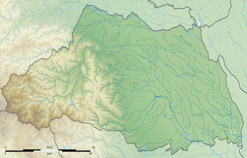
| current | 18:49, 3 July 2013 | | 1,715 × 1,098 (1.84 MB) | commons>Bourrichon | == {{int:filedesc}} == {{Location|36|50|00|N|139|00|00|E|scale:10000}} {{Information |Description= {{fr|Carte topographique vierge de la préfecture métropolitaine de Tokyo (東京都, ''Tōkyō-to''), au [[:fr:Japon|Japon... |
File usage
There are no pages that use this file.