File:Saint Paul River Location Map.svg
Jump to navigation
Jump to search

Size of this PNG preview of this SVG file: 800 × 547 pixels. Other resolutions: 320 × 219 pixels | 640 × 438 pixels | 1,024 × 700 pixels | 1,280 × 875 pixels | 2,560 × 1,751 pixels | 1,382 × 945 pixels.
Original file (SVG file, nominally 1,382 × 945 pixels, file size: 894 KB)
File history
Click on a date/time to view the file as it appeared at that time.
| Date/Time | Thumbnail | Dimensions | User | Comment | |
|---|---|---|---|---|---|
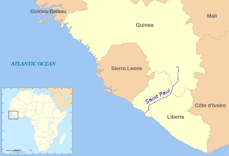
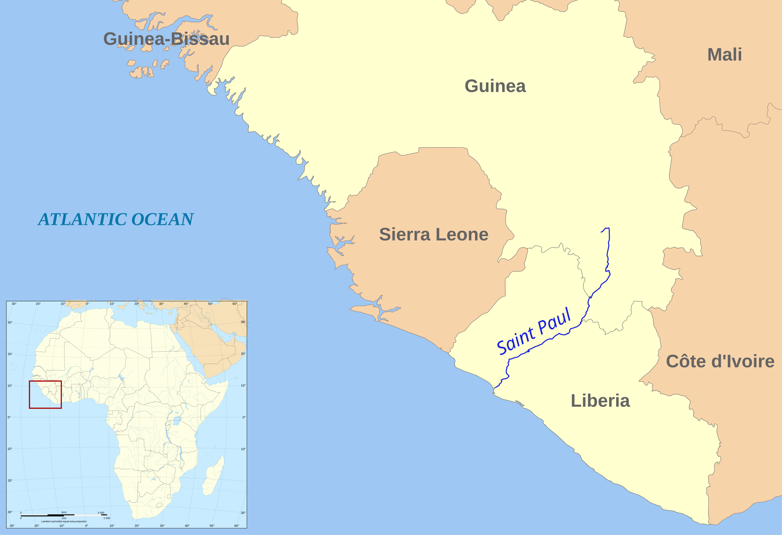
| current | 13:21, 10 November 2010 | | 1,382 × 945 (894 KB) | commons>Rok42 | {{Information |Description={{en|1=Map showing the location of Saint Paul river in Africa.}} |Source={{own}} |Author=Rok42 |Date=2010-11-10 |Permission= |other_versions= }} |
File usage
There are no pages that use this file.