File:Saint John, NB, Fort La Tour and harbour.jpg
Jump to navigation
Jump to search
Size of this preview: 800 × 600 pixels. Other resolutions: 320 × 240 pixels | 640 × 480 pixels | 1,024 × 768 pixels | 1,280 × 960 pixels | 2,048 × 1,536 pixels.
Original file (2,048 × 1,536 pixels, file size: 569 KB, MIME type: image/jpeg)
Summary
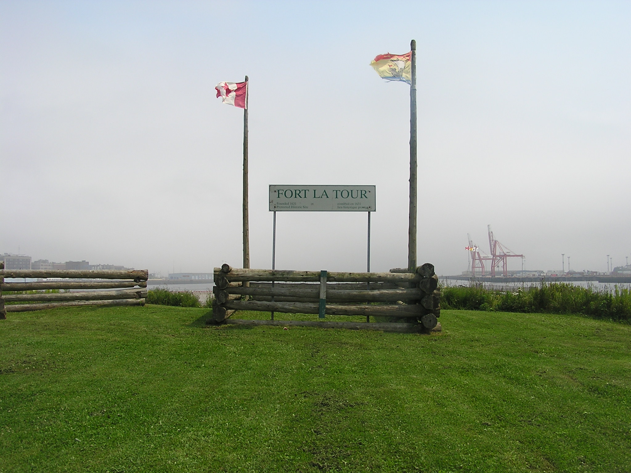
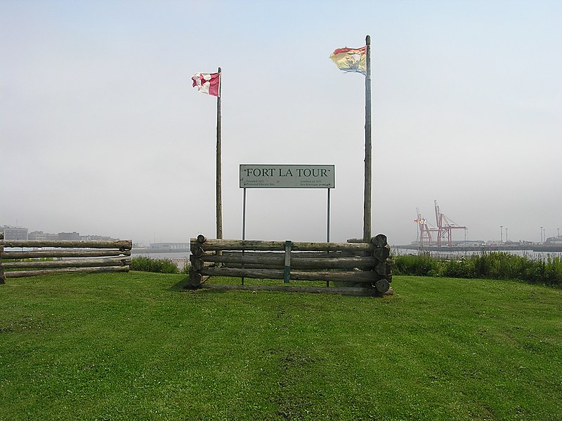
| Description | Fort La Tour |
| Date | |
| Source | Own work |
| Author | DDD DDD |
This photo is of a cultural heritage site in Canada, number 17522
|
|
This photo is of a cultural heritage site in Canada, number 5728
|
| Object location | | View this and other nearby images on: OpenStreetMap |
|---|
Licensing
| I, the copyright holder of this work, release this work into the public domain. This applies worldwide. In some countries this may not be legally possible; if so: I grant anyone the right to use this work for any purpose, without any conditions, unless such conditions are required by law. |
File history
Click on a date/time to view the file as it appeared at that time.
| Date/Time | Thumbnail | Dimensions | User | Comment | |
|---|---|---|---|---|---|
| current | 07:38, 8 August 2006 | | 2,048 × 1,536 (569 KB) | commons>DDD DDD~commonswiki | I took this photo of Fort La Tour in July, 2006. I am putting it here in the Commons for all to use. |
File usage
There are no pages that use this file.