File:Saint-Thuribe 002.jpg
Jump to navigation
Jump to search
Size of this preview: 800 × 600 pixels. Other resolutions: 320 × 240 pixels | 640 × 480 pixels | 1,024 × 768 pixels | 1,280 × 960 pixels | 2,560 × 1,920 pixels | 4,032 × 3,024 pixels.
Original file (4,032 × 3,024 pixels, file size: 5.16 MB, MIME type: image/jpeg)
Summary
| Description |
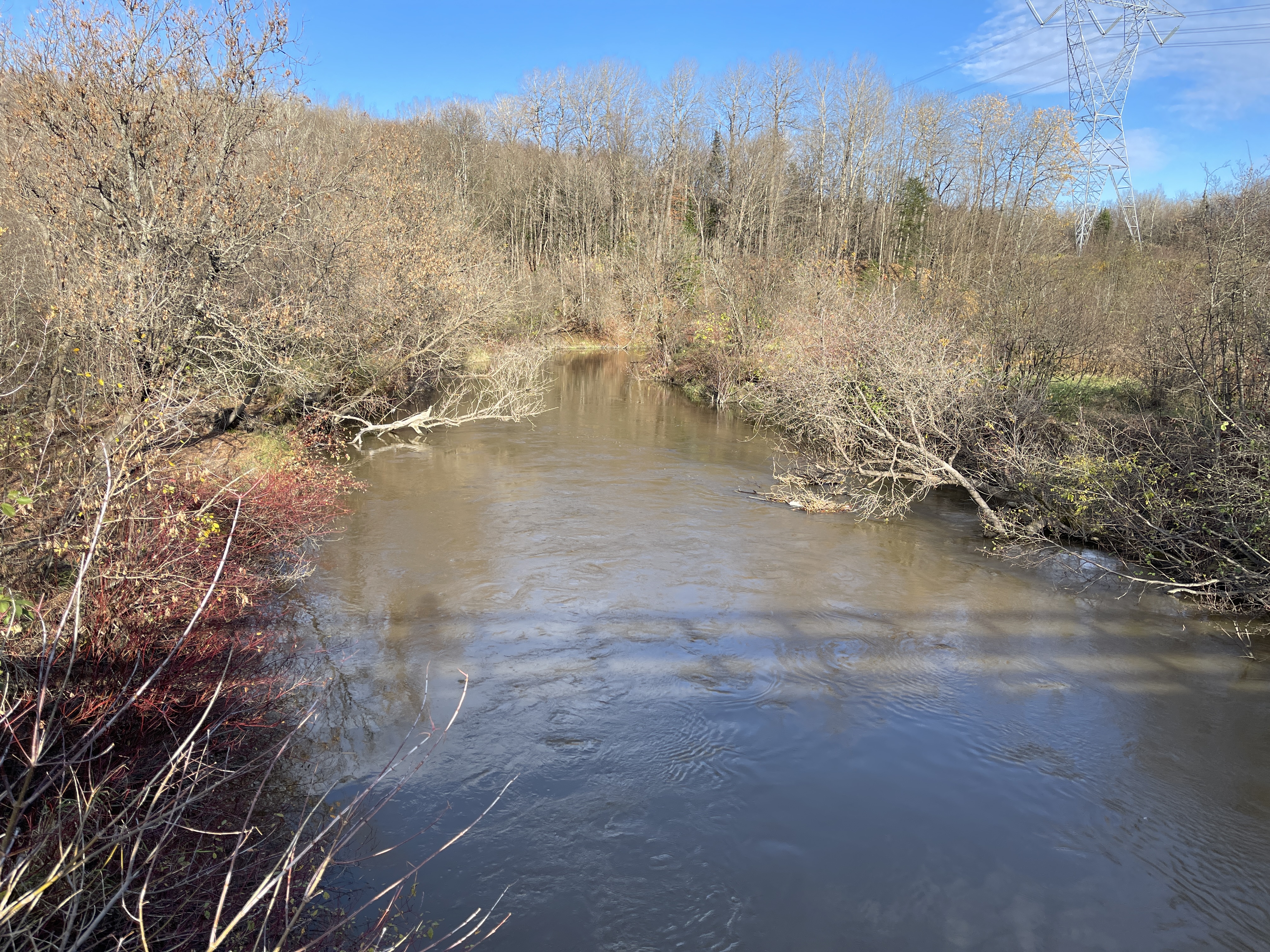
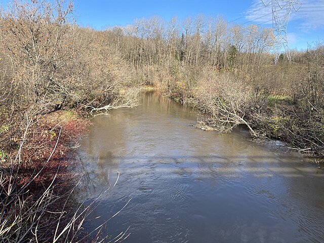
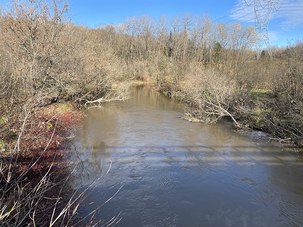
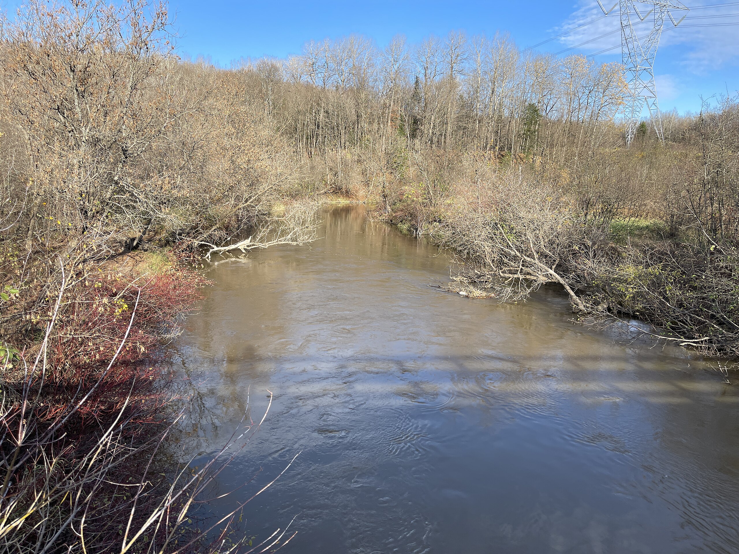
English: Capitale-Nationale, MRC Portneuf' Saint-Thuribe (Parish Municipality), rang Saint-Joseph, Rivière Blanche, du pont 06211, steel-wood, Sunday, October 29, 2023.
Français : Capitale-Nationale, MRC Portneuf’ Saint-Thuribe (Municipalité de paroisse), rang Saint-Joseph, rivière Blanche, du pont 06211, acier-bois, le dimanche 29 octobre 2023. |
| Date | |
| Source | Own work |
| Author | Nichole Ouellette |
| Camera location | | View this and other nearby images on: OpenStreetMap |
|---|
- More infos/photos, same author: ouellette001.com – Québec en photos
- Capitale-Nationale [1]
- Portneuf RCM: [2]
- About Quebec in photos
- Regard des petites personnes (Children) True Stories: River
- Home ouellette001.com
Licensing
I, the copyright holder of this work, hereby publish it under the following license:
This file is licensed under the Creative Commons Attribution 4.0 International license.
- You are free:
- to share – to copy, distribute and transmit the work
- to remix – to adapt the work
- Under the following conditions:
- attribution – You must give appropriate credit, provide a link to the license, and indicate if changes were made. You may do so in any reasonable manner, but not in any way that suggests the licensor endorses you or your use.
File history
Click on a date/time to view the file as it appeared at that time.
| Date/Time | Thumbnail | Dimensions | User | Comment | |
|---|---|---|---|---|---|
| current | 09:21, 2 November 2023 | | 4,032 × 3,024 (5.16 MB) | commons>Nichole Ouellette | Uploaded own work with UploadWizard |
File usage
There are no pages that use this file.