File:Saint-Barnabé-Sud Quebec location diagram.PNG
Jump to navigation
Jump to search
No higher resolution available.
Saint-Barnabé-Sud_Quebec_location_diagram.PNG (525 × 485 pixels, file size: 102 KB, MIME type: image/png)
File history
Click on a date/time to view the file as it appeared at that time.
| Date/Time | Thumbnail | Dimensions | User | Comment | |
|---|---|---|---|---|---|
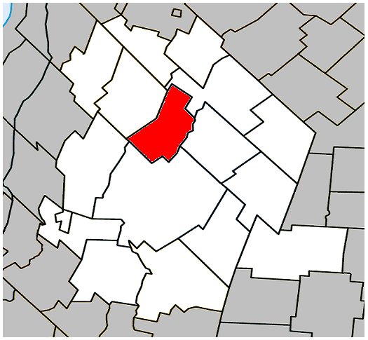
| current | 02:38, 17 May 2009 | | 525 × 485 (102 KB) | commons>Gordalmighty | {{Information |Description={{en|1=Location of Saint-Barnabé-Sud, Quebec within Les Maskoutains Regional County Municipality.}} |Source=Own work by uploader |Author=Gordalmighty |Date=2009-05-16 |Permission= |other_versions= }} <!-- |
File usage
There are no pages that use this file.