File:STL Neighborhood Map 34.PNG
Jump to navigation
Jump to search
Size of this preview: 351 × 600 pixels. Other resolutions: 140 × 240 pixels | 384 × 656 pixels.
Original file (384 × 656 pixels, file size: 18 KB, MIME type: image/png)
File history
Click on a date/time to view the file as it appeared at that time.
| Date/Time | Thumbnail | Dimensions | User | Comment | |
|---|---|---|---|---|---|
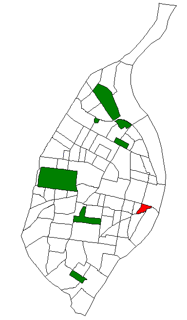
| current | 17:20, 12 June 2009 | | 384 × 656 (18 KB) | commons>Onegentlemanofverona | {{Information |Description={{en|1=Map of St. Louis Neighborhood #34 (La Salle or LaSalle)}} |Source=Own work by uploader |Author=Onegentlemanofverona |Date=2009-06-12 |Permission= |other_versions= }} <!--{{ImageUpload|full}} |
File usage
There are no pages that use this file.