File:SFRY Croatia.png
Jump to navigation
Jump to search
Size of this preview: 685 × 600 pixels. Other resolutions: 274 × 240 pixels | 548 × 480 pixels | 941 × 824 pixels.
Original file (941 × 824 pixels, file size: 21 KB, MIME type: image/png)
File history
Click on a date/time to view the file as it appeared at that time.
| Date/Time | Thumbnail | Dimensions | User | Comment | |
|---|---|---|---|---|---|
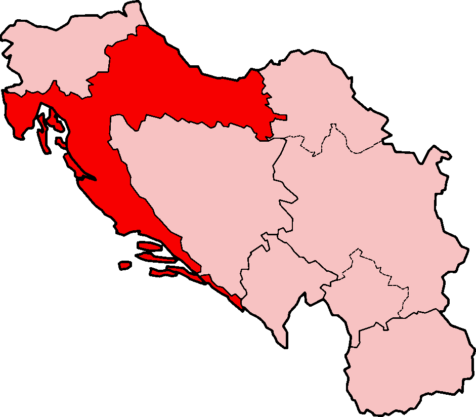
| current | 14:03, 7 June 2007 | | 941 × 824 (21 KB) | commons>Aivazovsky~commonswiki | == Summary == {{Information |Description=Map of Croatia under the Socialist Federal Republic of Yugoslavia |Source=Based on SFRYugoslaviaNumbered.png. |Date=2007-06-07 |Author=Based on map originally created by [[:w:en |
File usage
There are no pages that use this file.