File:Rottumeroog Rottumerplaat 6.53663E 53.54001N.jpg
Jump to navigation
Jump to search

Size of this preview: 800 × 599 pixels. Other resolutions: 320 × 240 pixels | 640 × 479 pixels | 1,024 × 766 pixels | 1,280 × 958 pixels.
Original file (1,280 × 958 pixels, file size: 444 KB, MIME type: image/jpeg)
| Description |
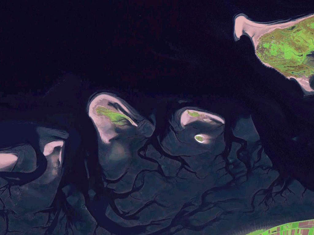
English: Some West Frisian Islands (Netherlands) and some East Frisian Islands (Germany), from left to right: part of Schiermonnikoog, Simonszand, Rottumerplaat, Rottumeroog (north) with Zuiderduintjes (south) and part of Borkum. |
|||
| Date | before 2005 | |||
| Source |
English: NASA World Wind screenshot |
|||
| Author | – (NASA World Wind) | |||
| Permission (Reusing this file) |
|

| Annotations | This image is annotated: View the annotations at Commons |
File history
Click on a date/time to view the file as it appeared at that time.
| Date/Time | Thumbnail | Dimensions | User | Comment | |
|---|---|---|---|---|---|
| current | 19:06, 13 October 2013 | | 1,280 × 958 (444 KB) | commons>Jahoe | stretched contrast |
File usage
There are no pages that use this file.