File:Roman Spain - AD 400.png
Jump to navigation
Jump to search

Size of this preview: 798 × 600 pixels. Other resolutions: 319 × 240 pixels | 639 × 480 pixels | 1,022 × 768 pixels | 1,156 × 869 pixels.
Original file (1,156 × 869 pixels, file size: 1.14 MB, MIME type: image/png)
File history
Click on a date/time to view the file as it appeared at that time.
| Date/Time | Thumbnail | Dimensions | User | Comment | |
|---|---|---|---|---|---|
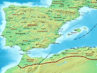
| current | 22:48, 21 December 2013 | | 1,156 × 869 (1.14 MB) | commons>Jbribeiro1 | == {{int:filedesc}} == {{Information |Description=Map of the Roman Empire ca. 400 AD, showing the administrative division into dioceses and provinces, as well as the major cities. The demarcation between Eastern and Western Empires is noted in red.... |
File usage
There are no pages that use this file.