File:River Great Ouse map.png
Jump to navigation
Jump to search

Size of this preview: 800 × 588 pixels. Other resolutions: 320 × 235 pixels | 640 × 471 pixels | 1,024 × 753 pixels | 1,280 × 941 pixels | 2,003 × 1,473 pixels.
Original file (2,003 × 1,473 pixels, file size: 2.08 MB, MIME type: image/png)
File history
Click on a date/time to view the file as it appeared at that time.
| Date/Time | Thumbnail | Dimensions | User | Comment | |
|---|---|---|---|---|---|
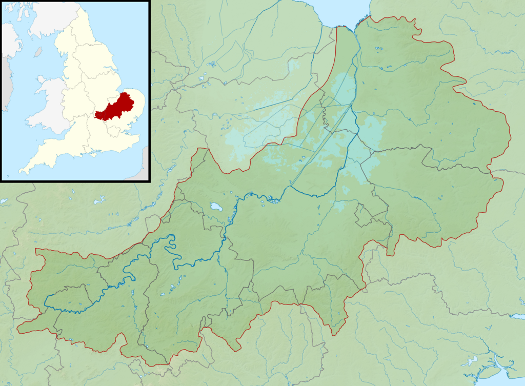
| current | 23:41, 5 March 2014 | | 2,003 × 1,473 (2.08 MB) | commons>Nilfanion | == {{int:filedesc}} == {{Information |Description= {{en|Map of the River Great Ouse and its catchment in England. Map is on British National Grid with limits at grid refs SK4535 (top left), TG1535 (top right), SP4510 (bottom left), TM1510 (bottom righ... |
File usage
There are no pages that use this file.