File:Reykjavík map (D06-Breiðholt).png
Jump to navigation
Jump to search
Size of this preview: 800 × 507 pixels. Other resolutions: 320 × 203 pixels | 640 × 405 pixels | 1,053 × 667 pixels.
Original file (1,053 × 667 pixels, file size: 124 KB, MIME type: image/png)
.png)
File history
Click on a date/time to view the file as it appeared at that time.
| Date/Time | Thumbnail | Dimensions | User | Comment | |
|---|---|---|---|---|---|
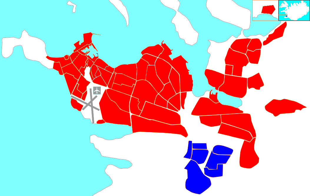
| current | 21:35, 10 February 2012 | | 1,053 × 667 (124 KB) | commons>DerBorg | == {{int:filedesc}} == {{Information |Description={{en|1=Locator map of the district Breiðholt (blue) within the municipality of Reykjavik (red).}} |Source=Derived from the '''File:Reykjavik hverfi alt.svg''' by '''[[User:Akigka|A |
File usage
There are no pages that use this file.
.png)