File:Republiek kaart.PNG
Jump to navigation
Jump to search

Size of this preview: 770 × 600 pixels. Other resolutions: 308 × 240 pixels | 616 × 480 pixels | 986 × 768 pixels | 1,280 × 997 pixels | 1,756 × 1,368 pixels.
Original file (1,756 × 1,368 pixels, file size: 5.93 MB, MIME type: image/png)
File history
Click on a date/time to view the file as it appeared at that time.
| Date/Time | Thumbnail | Dimensions | User | Comment | |
|---|---|---|---|---|---|
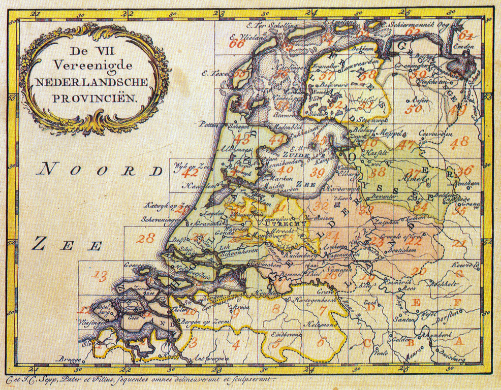
| current | 13:54, 14 July 2010 | | 1,756 × 1,368 (5.93 MB) | commons>Joop Rotte | Hogere resolutie. {{Information |Description=De VII Vereenigde Nederlandsche Provinciën |Source=Nieuwe Geographische Nederlandsche Reise- en Zak-Atlas |Date=1773 |Author=J.C. & C Sepp |Permission= |other_versions= }} Category:Old maps |
File usage
There are no pages that use this file.