File:Relief Map of Germany, Black Forest.png
Jump to navigation
Jump to search

Size of this preview: 506 × 600 pixels. Other resolutions: 202 × 240 pixels | 405 × 480 pixels | 1,000 × 1,185 pixels.
Original file (1,000 × 1,185 pixels, file size: 1.48 MB, MIME type: image/png)
File history
Click on a date/time to view the file as it appeared at that time.
| Date/Time | Thumbnail | Dimensions | User | Comment | |
|---|---|---|---|---|---|
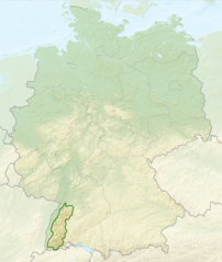
| current | 02:40, 28 July 2013 | | 1,000 × 1,185 (1.48 MB) | commons>Sitacuisses | == {{int:filedesc}} == {{Information |Description={{en|Relief map of Germany with outlines of the Black Forest. Equirectangular projection, N/S stretching 150 %. Geographic limits ... |
File usage
There are no pages that use this file.