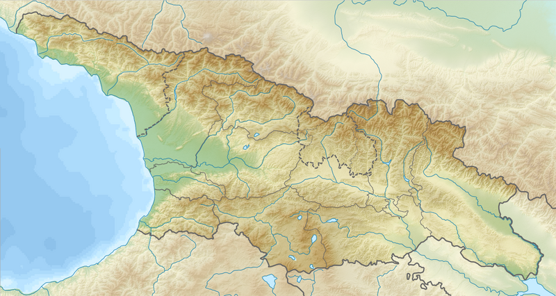
File:Relief Map of Georgia.png
Jump to navigation
Jump to search

Size of this preview: 800 × 426 pixels. Other resolutions: 320 × 170 pixels | 640 × 341 pixels | 1,182 × 629 pixels.
Original file (1,182 × 629 pixels, file size: 1.08 MB, MIME type: image/png)
File history
Click on a date/time to view the file as it appeared at that time.
| Date/Time | Thumbnail | Dimensions | User | Comment | |
|---|---|---|---|---|---|
| current | 20:49, 25 July 2016 | | 1,182 × 629 (1.08 MB) | commons>NordNordWest | missing border between Guria and Samegrelo-Zemo Svaneti added |
File usage
There are no pages that use this file.