File:Redbridge London UK blank ward map.svg
Jump to navigation
Jump to search

Size of this PNG preview of this SVG file: 600 × 600 pixels. Other resolutions: 240 × 240 pixels | 480 × 480 pixels | 769 × 768 pixels | 1,025 × 1,024 pixels | 2,050 × 2,048 pixels | 1,267 × 1,266 pixels.
Original file (SVG file, nominally 1,267 × 1,266 pixels, file size: 449 KB)
File history
Click on a date/time to view the file as it appeared at that time.
| Date/Time | Thumbnail | Dimensions | User | Comment | |
|---|---|---|---|---|---|
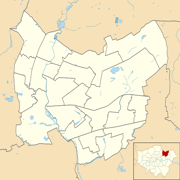
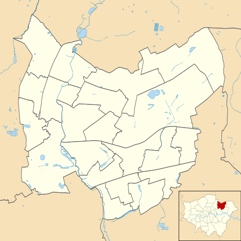
| current | 22:14, 28 July 2011 | | 1,267 × 1,266 (449 KB) | commons>Nilfanion | {{Information |Description=Blank map of the London Borough of Redbridge, showing electoral wards. Equirectangular map projection on WGS 84 datum, with N/S stretched 160% Geographic limits: *West: 0 *East: 0.16E *North: |
File usage
There are no pages that use this file.