File:Rand McNally Standard Map of the United States 1921 UTA.jpg
Jump to navigation
Jump to search

Size of this preview: 800 × 585 pixels. Other resolutions: 320 × 234 pixels | 640 × 468 pixels | 1,024 × 749 pixels | 1,280 × 937 pixels | 2,560 × 1,873 pixels | 3,673 × 2,688 pixels.
Original file (3,673 × 2,688 pixels, file size: 1.93 MB, MIME type: image/jpeg)
File history
Click on a date/time to view the file as it appeared at that time.
| Date/Time | Thumbnail | Dimensions | User | Comment | |
|---|---|---|---|---|---|
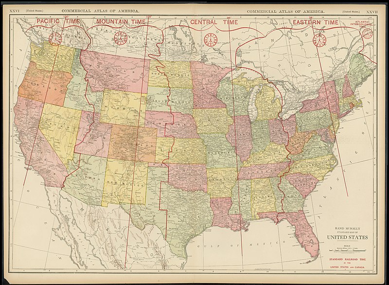
| current | 19:27, 4 May 2022 | | 3,673 × 2,688 (1.93 MB) | commons>Michael Barera | == {{int:filedesc}} == {{Map |title = {{en|'''''Rand McNally Standard Map of the United States'''''}} |description = |legend = |author = {{Unknown|author}} |date = 1921 |source = UTA Libraries ''Cartographic Connections'': [https://libguides.uta.edu/ld.php?content_id=931926 {{I18n/map}}] / [https://libguides.uta.edu/ccon {{I18n/text}}] |permission = |map date = |location = {{United States}} |pr... |
File usage
There are no pages that use this file.