File:Radar coverage from ground level.png
Jump to navigation
Jump to search

Size of this preview: 800 × 419 pixels. Other resolutions: 320 × 168 pixels | 640 × 335 pixels | 958 × 502 pixels.
Original file (958 × 502 pixels, file size: 203 KB, MIME type: image/png)
File history
Click on a date/time to view the file as it appeared at that time.
| Date/Time | Thumbnail | Dimensions | User | Comment | |
|---|---|---|---|---|---|
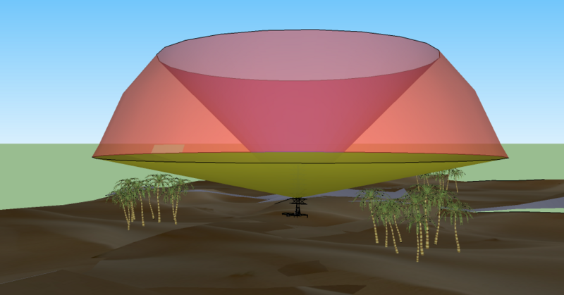
| current | 19:39, 10 August 2010 | | 958 × 502 (203 KB) | commons>Maury Markowitz | {{Information |Description={{en|1=A simple 3D diagram (from Google Sketch) showing a representative radar coverage pattern. The rounded surface is the maximum range of the system (which may be "soft"), the lower limit is selected to avoid reflections from |
File usage
There are no pages that use this file.