File:Puffin islandmap1947.png
Jump to navigation
Jump to search

Size of this preview: 800 × 588 pixels. Other resolutions: 320 × 235 pixels | 640 × 470 pixels | 1,041 × 765 pixels.
Original file (1,041 × 765 pixels, file size: 1.18 MB, MIME type: image/png)
File history
Click on a date/time to view the file as it appeared at that time.
| Date/Time | Thumbnail | Dimensions | User | Comment | |
|---|---|---|---|---|---|
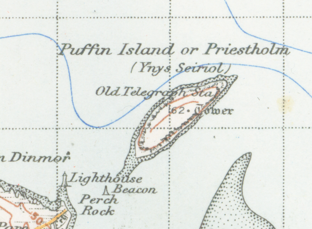
| current | 22:03, 31 January 2009 | | 1,041 × 765 (1.18 MB) | commons>Geni | {{Information |Description=Map of Conwy from 1947. Scale 1 inch to the mile 600DPI Sheet 107 "Snowdon" |Source=OS Sheet 107 "Snowdon" |Date=1947 |Author=OS |Permission=none needed |other_versions= }} {{oldOS}} Category:Islands of Wales <!--{{ImageUp |
File usage
There are no pages that use this file.