File:Pueblito Bohios - Tayrona Walk - Calabazo to Pueblito (4626285664).jpg
Jump to navigation
Jump to search
Size of this preview: 800 × 531 pixels. Other resolutions: 320 × 213 pixels | 640 × 425 pixels | 1,024 × 680 pixels | 1,280 × 850 pixels | 2,560 × 1,700 pixels | 3,216 × 2,136 pixels.
Original file (3,216 × 2,136 pixels, file size: 1.81 MB, MIME type: image/jpeg)
.jpg)
Summary
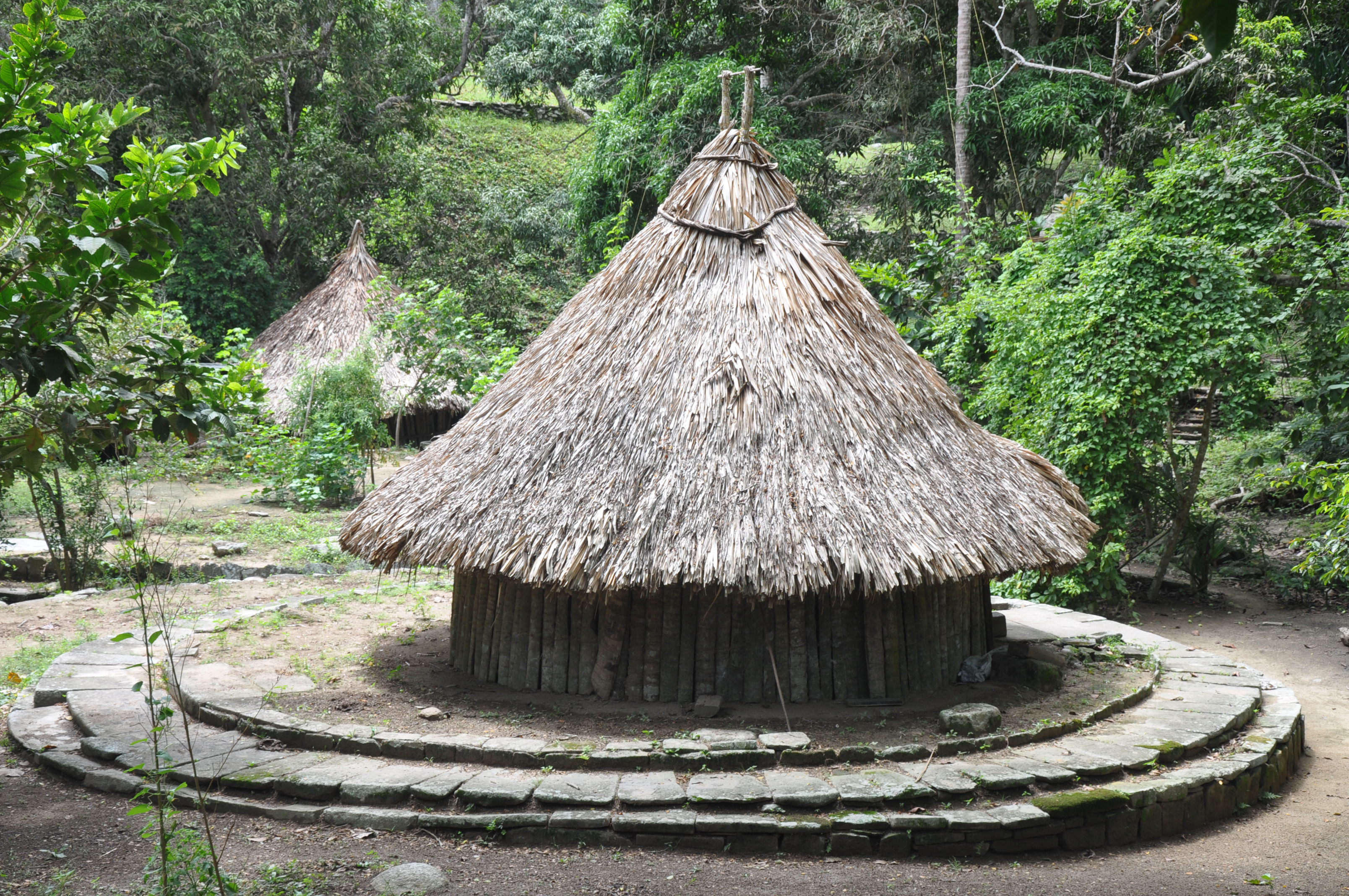
| Description | The Tayrona National Natural Park (Spanish: Parque Nacional Natural Tayrona) is a protected area in the Colombian northern Caribbean region and within the jurisdiction of the Department of Magdalena and some 34 km from the city of Santa Marta. The park presents a biodiversity endemic to the area of the Sierra Nevada de Santa Marta mountain range presenting a variety of climates (mountain climate) and geography that ranges from arid sea level to 900 meters above sea level. The park covers some 30 square kilometres of maritime area in the Caribbean sea and some 150 km² of land. |
| Date | |
| Source | Pueblito Bohios - Tayrona Walk - Calabazo to Pueblito |
| Author | Jorge Láscar from Australia |
| Camera location | | View this and other nearby images on: OpenStreetMap |
|---|
.jpg¶ms=011.289782_N_-074.153599_E_globe:Earth_type:camera_source:Flickr_&language=en)
Licensing
This file is licensed under the Creative Commons Attribution 2.0 Generic license.
- You are free:
- to share – to copy, distribute and transmit the work
- to remix – to adapt the work
- Under the following conditions:
- attribution – You must give appropriate credit, provide a link to the license, and indicate if changes were made. You may do so in any reasonable manner, but not in any way that suggests the licensor endorses you or your use.
| This image was originally posted to Flickr by Jorge Lascar at https://www.flickr.com/photos/8721758@N06/4626285664. It was reviewed on 2 April 2014 by FlickreviewR and was confirmed to be licensed under the terms of the cc-by-2.0. |

|
The categories of this image need checking. You can do so here.
|
.jpg&action=edit&withJS=MediaWiki:Catcheck.js)
File history
Click on a date/time to view the file as it appeared at that time.
| Date/Time | Thumbnail | Dimensions | User | Comment | |
|---|---|---|---|---|---|
| current | 07:48, 2 April 2014 | | 3,216 × 2,136 (1.81 MB) | commons>Russavia | Transferred from Flickr |
File usage
There are no pages that use this file.
.jpg)