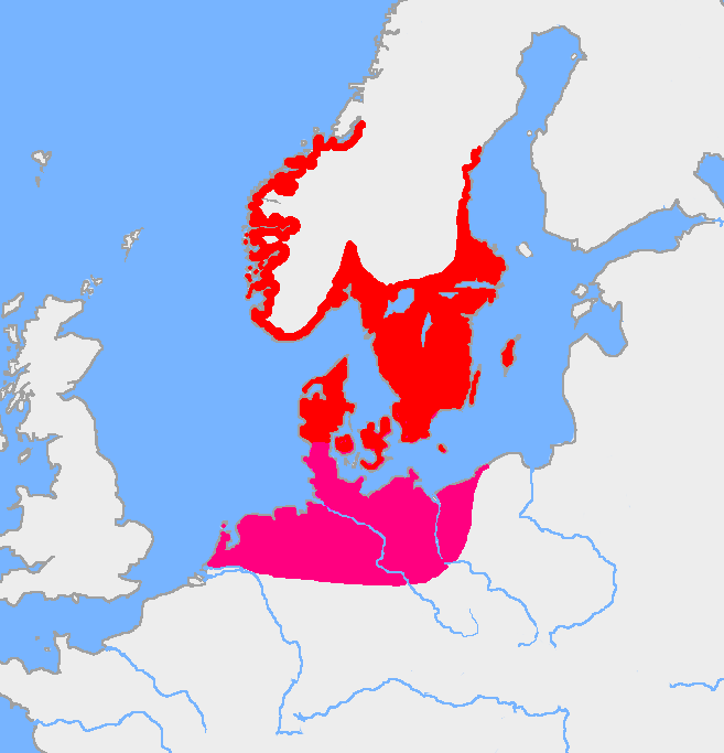
File:Pre-roman iron age (map).PNG
Jump to navigation
Jump to search
Size of this preview: 577 × 600 pixels. Other resolutions: 231 × 240 pixels | 462 × 480 pixels | 657 × 683 pixels.
Original file (657 × 683 pixels, file size: 38 KB, MIME type: image/png)
.PNG)
File history
Click on a date/time to view the file as it appeared at that time.
| Date/Time | Thumbnail | Dimensions | User | Comment | |
|---|---|---|---|---|---|
| current | 05:43, 8 August 2017 | | 657 × 683 (38 KB) | commons>Velivieras | Updated the map concerning the Åland islands. Scandinavian influence to the island started in 11th century. |
File usage
There are no pages that use this file.
.PNG)