File:Port Union map.PNG
Jump to navigation
Jump to search
No higher resolution available.
Port_Union_map.PNG (508 × 556 pixels, file size: 33 KB, MIME type: image/png)
File history
Click on a date/time to view the file as it appeared at that time.
| Date/Time | Thumbnail | Dimensions | User | Comment | |
|---|---|---|---|---|---|
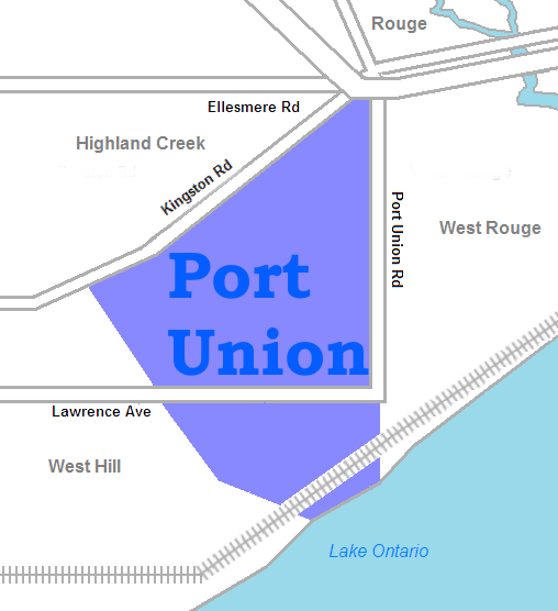
| current | 16:35, 14 January 2010 | | 508 × 556 (33 KB) | commons>SimonP | {{Information |Description={{en|1=map of w:Port Union, Ontario}} |Source={{own}} |Author=SimonP |Date=Jan 14, 2010 |Permission= |other_versions= }} Category:Neighbourhood maps of Toronto |
File usage
There are no pages that use this file.