File:Port Lands map.PNG
Jump to navigation
Jump to search
Size of this preview: 585 × 600 pixels. Other resolutions: 234 × 240 pixels | 468 × 480 pixels | 877 × 899 pixels.
Original file (877 × 899 pixels, file size: 67 KB, MIME type: image/png)
File history
Click on a date/time to view the file as it appeared at that time.
| Date/Time | Thumbnail | Dimensions | User | Comment | |
|---|---|---|---|---|---|
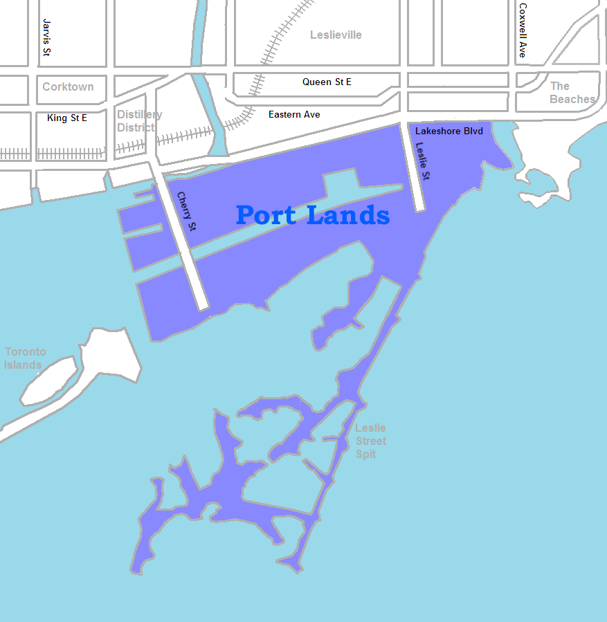
| current | 19:08, 21 May 2009 | | 877 × 899 (67 KB) | commons>SimonP | {{Information |Description={{en|1=map of the w:Port Lands}} |Source=Own work by uploader |Author=SimonP |Date=May 21, 2009 |Permission= |other_versions= }} <!--{{ImageUpload|full}}--> Category:Maps of Toronto |
File usage
There are no pages that use this file.