File:Pontia protodice range map.JPG
Jump to navigation
Jump to search

Size of this preview: 519 × 599 pixels. Other resolutions: 208 × 240 pixels | 524 × 605 pixels.
Original file (524 × 605 pixels, file size: 33 KB, MIME type: image/jpeg)
File history
Click on a date/time to view the file as it appeared at that time.
| Date/Time | Thumbnail | Dimensions | User | Comment | |
|---|---|---|---|---|---|
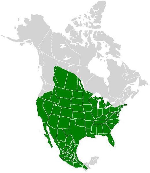
| current | 21:30, 3 January 2009 | | 524 × 605 (33 KB) | commons>Meganmccarty | {{Information |Description={{en|Map of North America and its second-level political divisions. Canadian provinces, US and Mexican states. Canada, Mexico, United States. Non-contiguous parts of a states/provinces are "grouped" together with the main area |
File usage
There are no pages that use this file.