File:Playground in upper Kiryat Shmona.JPG
Jump to navigation
Jump to search
Size of this preview: 800 × 533 pixels. Other resolutions: 320 × 213 pixels | 640 × 427 pixels | 1,024 × 683 pixels | 1,280 × 853 pixels | 2,560 × 1,707 pixels | 4,608 × 3,072 pixels.
Original file (4,608 × 3,072 pixels, file size: 8.7 MB, MIME type: image/jpeg)
Summary
| Description |
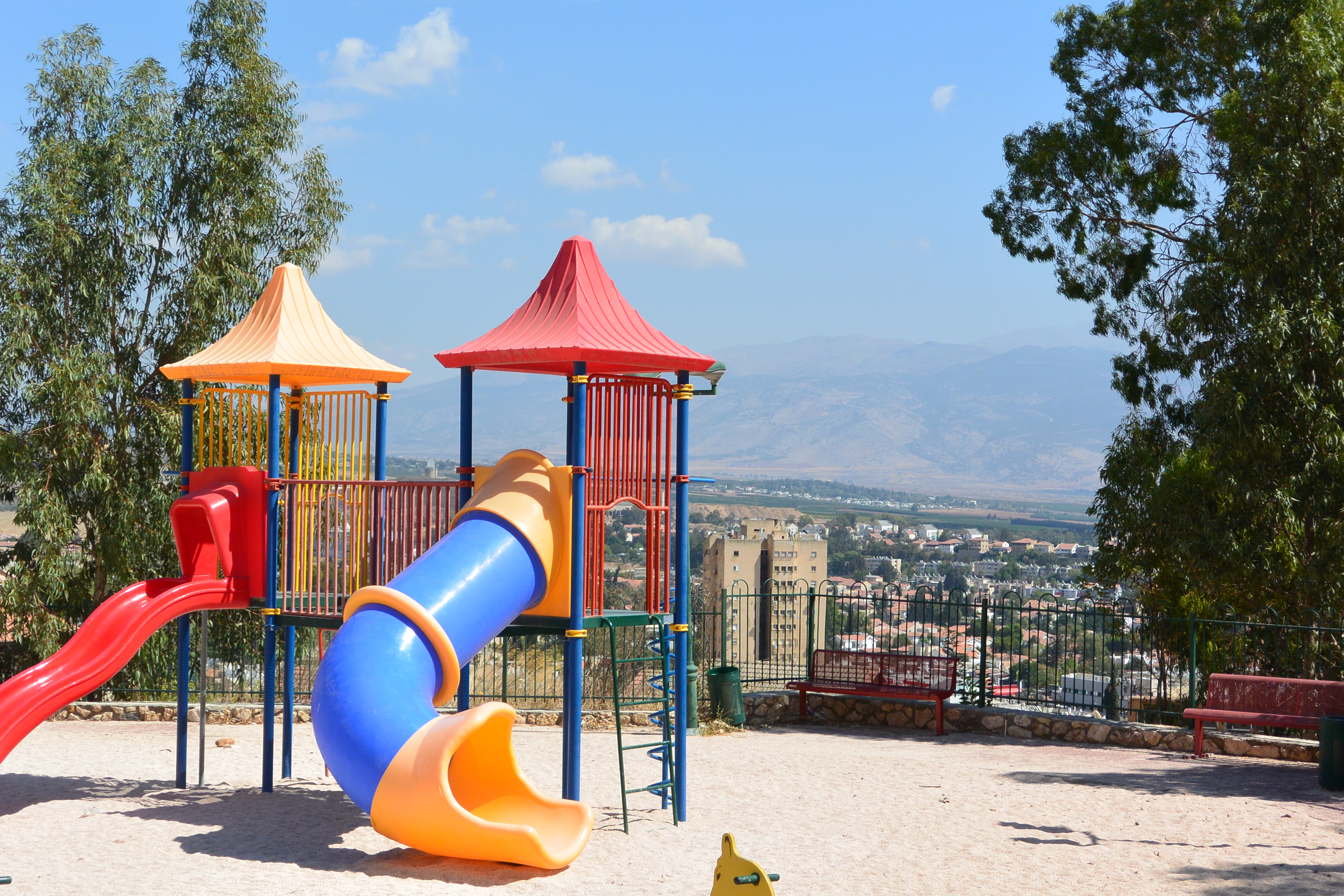
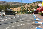
Deutsch: Ein höhergelegener Spielplatz in Kirat Shmona.
English: A playground in Kiryat Shmona on a higher place. |
| Date | |
| Source | Own work |
| Author | Jotpe |
| Place[1] | Deutsch: Keren Kayemet LeIsrael, Zeev Zabutintzky, Bne Beitecha, Kirjat Schmona, Nordbezirk, Israel English: Keren Kayemet LeIsrael, Zeev Zabutintzky, Bne Beitecha, Kiryat Shmona, North District, Israel עברית: קרן קיימת לישראל, Zeev Zabutintzky, Bne Beitecha, קרית שמונה, מחוז הצפון, ישראל |
| Image Number | 85 |
| Height | 191 |
| Camera location | | View this and other nearby images on: OpenStreetMap |
|---|
Navigation for Fotoproject Israel National Trail 2014
next
-
 Kiryat Shmona Police Station.JPG
 -
 Playground in upper Kiryat Shmona.JPG
 -
 Backyard in Kiryat Shmona.JPG
 -
 View over Kiryat Shmona.JPG
 -
 Israeli Taxi.JPG
 -
 David Salinger street Kiryat Shmona.JPG


The production, editing or release of this file was supported by the Community-Budget of Wikimedia Deutschland. To see other files made with the support of Wikimedia Deutschland, please see the category Supported by Wikimedia Deutschland. |
Licensing
I, the copyright holder of this work, hereby publish it under the following license:
This file is licensed under the Creative Commons Attribution-Share Alike 4.0 International license.
- You are free:
- to share – to copy, distribute and transmit the work
- to remix – to adapt the work
- Under the following conditions:
- attribution – You must give appropriate credit, provide a link to the license, and indicate if changes were made. You may do so in any reasonable manner, but not in any way that suggests the licensor endorses you or your use.
- share alike – If you remix, transform, or build upon the material, you must distribute your contributions under the same or compatible license as the original.
Notes for Share Alike in Openstreetmap
Deutsch: Informationen aus diesem Dokument/Foto können expliziet für Openstreetmap verwendet werden. Als Share-Alike reicht mir User jotpe @ Wikimedia Commons: Playground in upper Kiryat Shmona.JPG in der Source-Angabe beim Upload der OSM-Daten.
English: Information in this document / photo can be expliziet used for OpenStreetMap. Share-Alike is fullfilled by User jotpe @ Wikimedia Commons: Playground in upper Kiryat Shmona.JPG in the source field specified on upload of OSM data.
Sources
File history
Click on a date/time to view the file as it appeared at that time.
| Date/Time | Thumbnail | Dimensions | User | Comment | |
|---|---|---|---|---|---|
| current | 06:17, 4 February 2015 | | 4,608 × 3,072 (8.7 MB) | commons>Jotpe |
File usage
There are no pages that use this file.