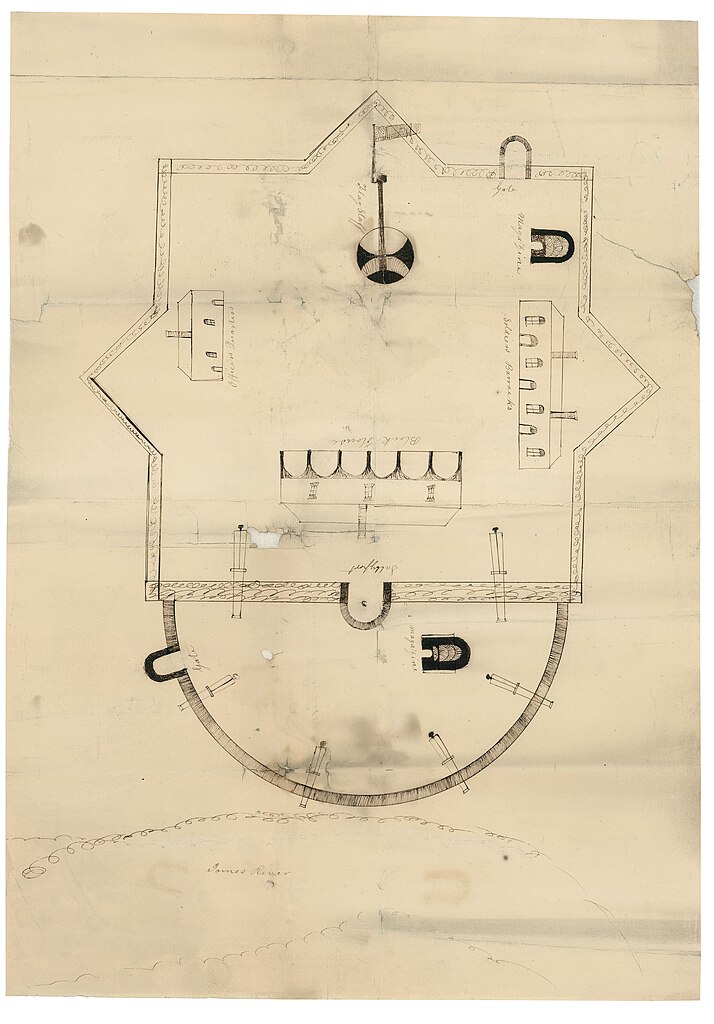
File:Plan of Fort Powhatan, Prince George County, Virginia LOC lva0000190.jpg
Jump to navigation
Jump to search

Size of this preview: 418 × 599 pixels. Other resolutions: 167 × 240 pixels | 335 × 480 pixels | 536 × 768 pixels | 714 × 1,024 pixels | 1,428 × 2,048 pixels | 4,855 × 6,960 pixels.
Original file (4,855 × 6,960 pixels, file size: 3.4 MB, MIME type: image/jpeg)
File history
Click on a date/time to view the file as it appeared at that time.
| Date/Time | Thumbnail | Dimensions | User | Comment | |
|---|---|---|---|---|---|
| current | 05:34, 18 May 2018 | | 4,855 × 6,960 (3.4 MB) | commons>Fæ | LOC Maps https://www.loc.gov/item/lva0000190/ #10580 |
File usage
There are no pages that use this file.