File:Ph locator region 2.png
Jump to navigation
Jump to search
No higher resolution available.
Ph_locator_region_2.png (300 × 440 pixels, file size: 17 KB, MIME type: image/png)
File history
Click on a date/time to view the file as it appeared at that time.
| Date/Time | Thumbnail | Dimensions | User | Comment | |
|---|---|---|---|---|---|
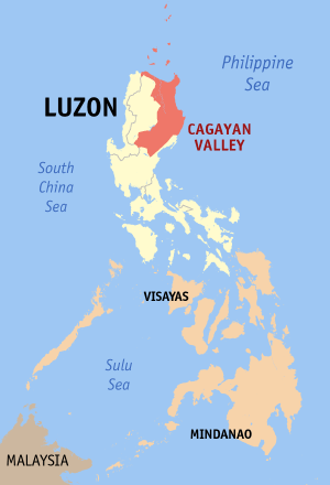
| current | 20:41, 22 May 2006 | | 300 × 440 (17 KB) | commons>Magalhães | Map of the Philippines showing the location of Cagayan Valley. Created and copyright (2003) by seav. Released under the GNU FDL. Category:Maps of the Philippines |
File usage
There are no pages that use this file.