File:Ph locator batanes itbayat.png
Jump to navigation
Jump to search
No higher resolution available.
Ph_locator_batanes_itbayat.png (300 × 300 pixels, file size: 6 KB, MIME type: image/png)
File history
Click on a date/time to view the file as it appeared at that time.
| Date/Time | Thumbnail | Dimensions | User | Comment | |
|---|---|---|---|---|---|
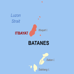
| current | 23:01, 9 December 2005 | | 300 × 300 (6 KB) | commons>Magalhães | Map of Batanes showing the location of Itbayat. Created by TheCoffee. Released under the GNU FDL. Source: [http://en.wikipedia.org/wiki/Image:Ph_locator_batanes_itbayat.png English Wikipedia] Category:Maps of Batanes |
File usage
There are no pages that use this file.