File:Periferia Anatolikis Makedonias ke Thrakis.png
Jump to navigation
Jump to search

Size of this preview: 706 × 599 pixels. Other resolutions: 283 × 240 pixels | 566 × 480 pixels.
Original file (800 × 679 pixels, file size: 91 KB, MIME type: image/png)
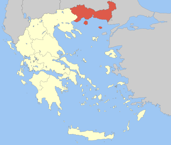
| Description | Locator Map of East Makedonia and Thrace Periphery, Greece |
| Date | |
| Source | Own work |
| Author | Pitichinaccio |
| I, the copyright holder of this work, release this work into the public domain. This applies worldwide. In some countries this may not be legally possible; if so: I grant anyone the right to use this work for any purpose, without any conditions, unless such conditions are required by law. |
File history
Click on a date/time to view the file as it appeared at that time.
| Date/Time | Thumbnail | Dimensions | User | Comment | |
|---|---|---|---|---|---|
| current | 11:43, 5 April 2008 | | 800 × 679 (91 KB) | commons>Pitichinaccio | {{Information |Description=Locator Map of East Makedonia and Thrace Periphery, Greece |Source=eigene Arbeit |Date=April 5, 2008 |Author= Pitichinaccio }} {{PD-self}} Category:Periphery maps of Greece |
File usage
There are no pages that use this file.