File:Peloponnese relief map-blank.svg
Jump to navigation
Jump to search

Size of this PNG preview of this SVG file: 766 × 600 pixels. Other resolutions: 307 × 240 pixels | 613 × 480 pixels | 981 × 768 pixels | 1,280 × 1,002 pixels | 2,560 × 2,004 pixels | 2,611 × 2,044 pixels.
Original file (SVG file, nominally 2,611 × 2,044 pixels, file size: 1.97 MB)
File history
Click on a date/time to view the file as it appeared at that time.
| Date/Time | Thumbnail | Dimensions | User | Comment | |
|---|---|---|---|---|---|
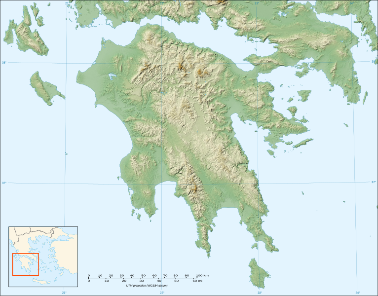
| current | 20:32, 18 October 2007 | | 2,611 × 2,044 (1.97 MB) | commons>Sting | {{Information |Description=Blank map of the relief of Peloponnese, Greece |Source=Own work ;<br/>Topographic background map : [http://www2.jpl.nasa.gov/srtm NASA Shuttle Radar Topography Mission] (SRTM3 v.2) (public domain) edited with |
File usage
There are no pages that use this file.