File:Patillas, Puerto Rico locator map.png
Jump to navigation
Jump to search
Size of this preview: 728 × 600 pixels. Other resolutions: 291 × 240 pixels | 583 × 480 pixels | 932 × 768 pixels | 1,103 × 909 pixels.
Original file (1,103 × 909 pixels, file size: 121 KB, MIME type: image/png)
Summary
| Description |
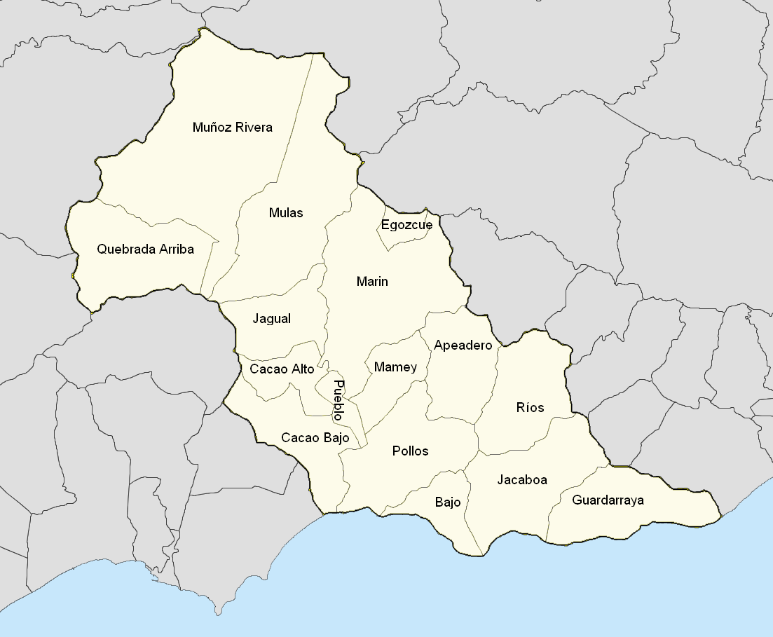
English: Barrios in the municipality.
First version of Map scale is 1:200,000 |
| Date | |
| Source |
|
| Author | The Eloquent Peasant |
Licensing
I, the copyright holder of this work, hereby publish it under the following license:
This file is licensed under the Creative Commons Attribution-Share Alike 4.0 International license.
- You are free:
- to share – to copy, distribute and transmit the work
- to remix – to adapt the work
- Under the following conditions:
- attribution – You must give appropriate credit, provide a link to the license, and indicate if changes were made. You may do so in any reasonable manner, but not in any way that suggests the licensor endorses you or your use.
- share alike – If you remix, transform, or build upon the material, you must distribute your contributions under the same or compatible license as the original.
File history
Click on a date/time to view the file as it appeared at that time.
| Date/Time | Thumbnail | Dimensions | User | Comment | |
|---|---|---|---|---|---|
| current | 05:45, 23 July 2019 | | 1,103 × 909 (121 KB) | commons>The Eloquent Peasant | labeled, darkened municipality border, went with map more recent color conventions |
File usage
There are no pages that use this file.