File:Papua Locator Topography.png
Jump to navigation
Jump to search

Size of this preview: 600 × 600 pixels. Other resolutions: 240 × 240 pixels | 480 × 480 pixels | 768 × 768 pixels | 1,024 × 1,024 pixels | 1,591 × 1,591 pixels.
Original file (1,591 × 1,591 pixels, file size: 1.57 MB, MIME type: image/png)
File history
Click on a date/time to view the file as it appeared at that time.
| Date/Time | Thumbnail | Dimensions | User | Comment | |
|---|---|---|---|---|---|
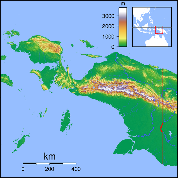
| current | 19:54, 11 September 2007 | | 1,591 × 1,591 (1.57 MB) | commons>Sadalmelik | {{Information |Description=Topographic locator map for Papua (Indonesian part of New Guinea). Created with GMT from SRTM data. Left: 130, Bottom: -10, Right: 142, Top: 2 |Source=self-made |Date=Sep 11, 2007 |Author= Sadalmelik }} [[Ca |
File usage
There are no pages that use this file.