File:PalmerLandstubmap.png
Jump to navigation
Jump to search
No higher resolution available.
PalmerLandstubmap.png (243 × 334 pixels, file size: 32 KB, MIME type: image/png)
File history
Click on a date/time to view the file as it appeared at that time.
| Date/Time | Thumbnail | Dimensions | User | Comment | |
|---|---|---|---|---|---|
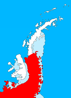
| current | 20:09, 9 July 2011 | | 243 × 334 (32 KB) | commons>MGA73bot2 | {{BotMoveToCommons|en.wikipedia|year={{subst:CURRENTYEAR}}|month={{subst:CURRENTMONTHNAME}}|day={{subst:CURRENTDAY}}}} {{Information |Description={{en|Outline map of the Antarctic Peninsula showing en:Palmer Land. Drawn by me (User:Grutness) base |
File usage
There are no pages that use this file.