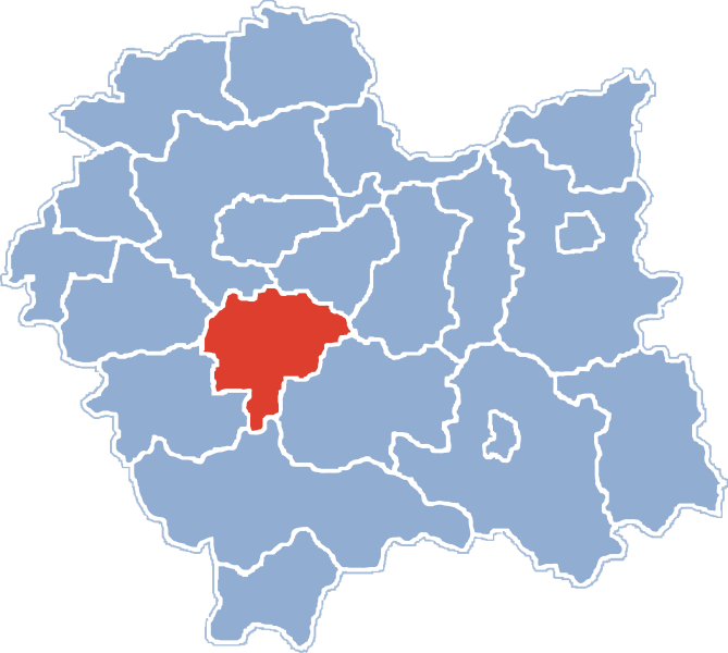
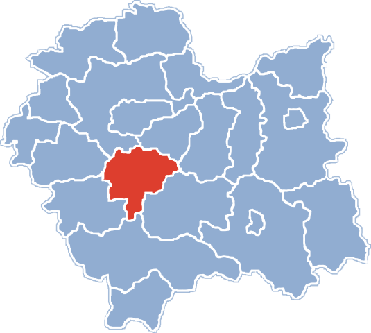
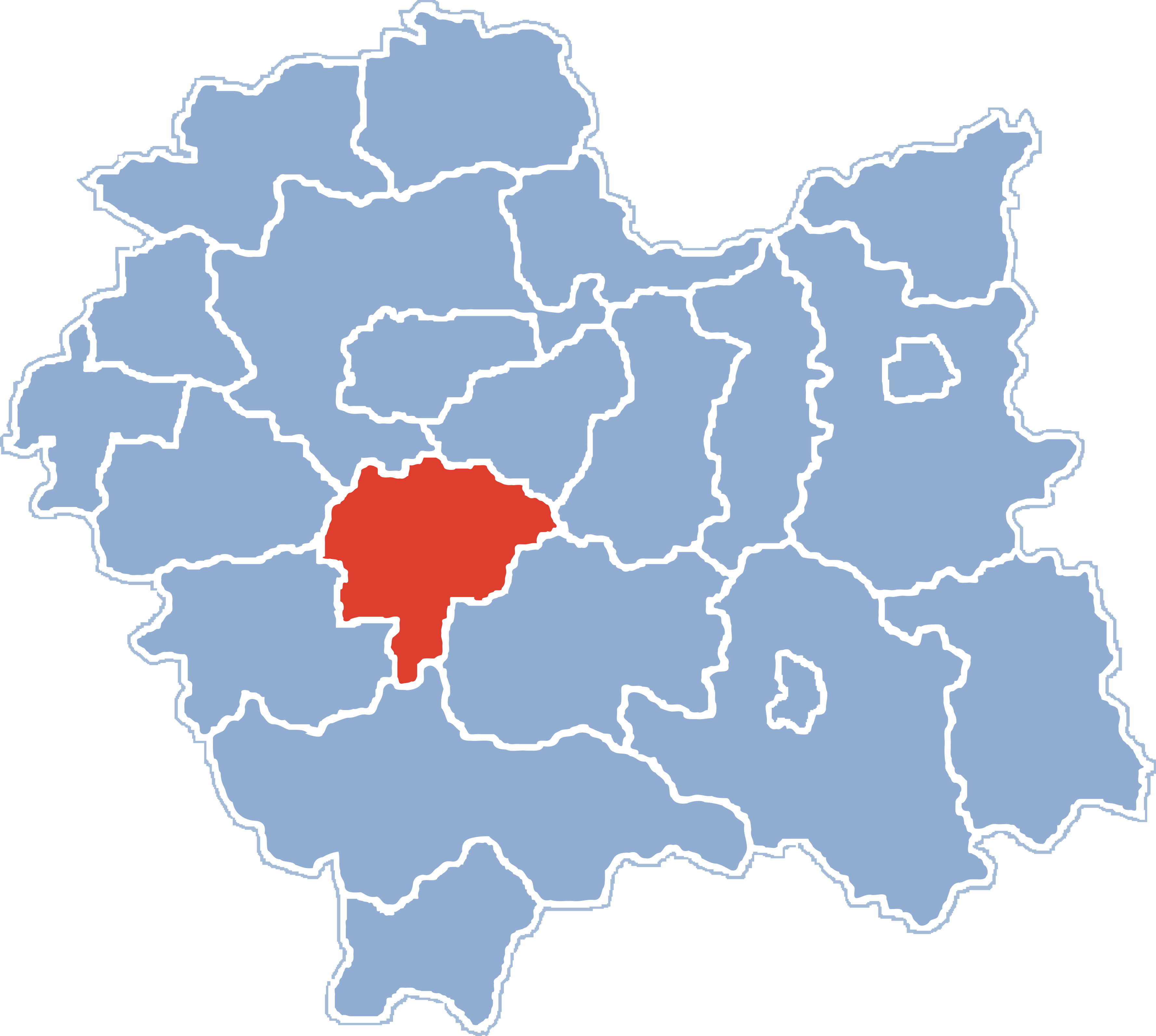
File:POL powiat myślenicki on voivodship map.svg
Jump to navigation
Jump to search

Size of this PNG preview of this SVG file: 669 × 600 pixels. Other resolutions: 268 × 240 pixels | 535 × 480 pixels | 857 × 768 pixels | 1,142 × 1,024 pixels | 2,284 × 2,048 pixels | 3,556 × 3,188 pixels.
Original file (SVG file, nominally 3,556 × 3,188 pixels, file size: 216 KB)
File history
Click on a date/time to view the file as it appeared at that time.
| Date/Time | Thumbnail | Dimensions | User | Comment | |
|---|---|---|---|---|---|
| current | 06:39, 21 November 2006 | | 3,556 × 3,188 (216 KB) | commons>Swohmeck~commonswiki | == Opis == {{Information |Description=* '''en''': Location of Myślenice County on Lesser Poland Voivodship map, Poland * '''pl''': Położenie powiatu myślenickiego na mapie [[Lesser Poland Voivodship|województwa małopols |
File usage
There are no pages that use this file.