File:P-Africa.svg
Jump to navigation
Jump to search

Size of this PNG preview of this SVG file: 609 × 599 pixels. Other resolutions: 244 × 240 pixels | 488 × 480 pixels | 781 × 768 pixels | 1,041 × 1,024 pixels | 2,081 × 2,048 pixels | 1,123 × 1,105 pixels.
Original file (SVG file, nominally 1,123 × 1,105 pixels, file size: 336 KB)
Summary
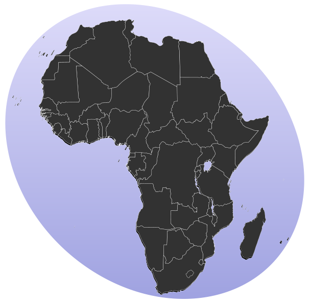
| Description | Blank map of Africa Detailed SVG map with grouping enabled to connect all non-contiguous parts of a country's territory for easy colouring. Smaller countries can also be represented by larger circles to show their data easier. All countries are tagged by their ISO code. A thorough description of use and other instructions can be found on the instruction page for the World map. The circles used to mark small countries have been reduceed in size compared to BlankMap-World6.svg, also Gambia does not have a circle in this version. For completion, per en:Africa#Territories and regions, Madeira (pt-30), Canary Islands (es-cn), Réunion (re), Mayotte (yt) and Saint Helena (sh) have been added to the map. Ceuta and Melilla were not added since they don't exist in BlankMap-World6.svg. To make these territories transparent simply use the style .sh, .pt-30, .es-cn, .yt, .re {opacity: 0;} | ||
| Date | (UTC) | ||
| Source |
This file was derived from: BlankMap-Africa.svg: |
||
| Author |
|
||
| SVG development |
|
Licensing
| This work has been released into the public domain by its author, Lokal_Profil. This applies worldwide. In some countries this may not be legally possible; if so: |
Original upload log
This image is a derivative work of the following images:
- File:BlankMap-Africa.svg licensed with PD-user
- 2011-11-08T13:50:11Z Htonl 1000x1000 (188219 Bytes) South Sudan has been allocated ISO code SS; change class and id correspondingly
- 2011-07-09T21:38:33Z Lokal_Profil 1000x1000 (188235 Bytes) Fixed code. Essentialy reverted and readded south sudan manually
- 2011-07-09T17:09:06Z Seb az86556 1000x1000 (189357 Bytes) +South Sudan
- 2010-07-18T16:04:42Z Stephen Morley 1000x1000 (189216 Bytes) Fixed errors that made SVG invalid
- 2009-09-22T16:22:54Z Lokal_Profil 1000x1000 (188987 Bytes) Reverted to version as of 00:54, 3 April 2008; the new map contains none of the iso code and css abilities of the original
- 2009-09-22T15:11:08Z NuclearVacuum 1000x1000 (360040 Bytes) minor change
- 2009-09-22T15:06:20Z NuclearVacuum 1000x1000 (360239 Bytes) Fixed map so it shows surrounding countries as well as making the code valid
- 2008-04-03T00:54:00Z Lokal_Profil 1000x1000 (188987 Bytes) reunion, saint helena, madeira and canary islands (mayotte already in) added for completion
- 2008-04-01T00:21:58Z Lokal_Profil 1000x1000 (185868 Bytes) Made circles smaller, and circular. They were the right size for the world map but to big for the Africa only map
- 2008-03-31T23:55:20Z Lokal_Profil 1000x1000 (185877 Bytes) Removed circle for gambia, not needed for Africa only map
- 2008-03-24T03:09:01Z Lokal_Profil 1000x1000 (186084 Bytes) {{Information |Description=Blank map of Africa Detailed SVG map with grouping enabled to connect all non-contiguous parts of a country's territory for easy colouring. Smaller countries can also be represented by larger circl
Uploaded with derivativeFX
File history
Click on a date/time to view the file as it appeared at that time.
| Date/Time | Thumbnail | Dimensions | User | Comment | |
|---|---|---|---|---|---|
| current | 13:31, 18 January 2012 | | 1,123 × 1,105 (336 KB) | commons>Amirki | סיני |
File usage
There are no pages that use this file.