File:Outer Hebrides UK relief location map.jpg
Jump to navigation
Jump to search

Size of this preview: 456 × 600 pixels. Other resolutions: 182 × 240 pixels | 365 × 480 pixels | 584 × 768 pixels | 778 × 1,024 pixels | 2,001 × 2,632 pixels.
Original file (2,001 × 2,632 pixels, file size: 481 KB, MIME type: image/jpeg)
File history
Click on a date/time to view the file as it appeared at that time.
| Date/Time | Thumbnail | Dimensions | User | Comment | |
|---|---|---|---|---|---|
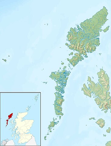
| current | 12:26, 30 November 2011 | | 2,001 × 2,632 (481 KB) | commons>Nilfanion | {{Information |Description=Relief map of the Outer Hebrides (excluding Sula Sgeir), UK. Equirectangular map projection on WGS 84 datum, with N/S stretched 180% Geographic limits: *West: 8.70W *East: 6.10W *North: 58 |
File usage
There are no pages that use this file.