File:OtagoRegionPopulationDensity.png
Jump to navigation
Jump to search
Size of this preview: 486 × 600 pixels. Other resolutions: 194 × 240 pixels | 389 × 480 pixels | 622 × 768 pixels | 829 × 1,024 pixels | 1,467 × 1,811 pixels.
Original file (1,467 × 1,811 pixels, file size: 182 KB, MIME type: image/png)
File history
Click on a date/time to view the file as it appeared at that time.
| Date/Time | Thumbnail | Dimensions | User | Comment | |
|---|---|---|---|---|---|
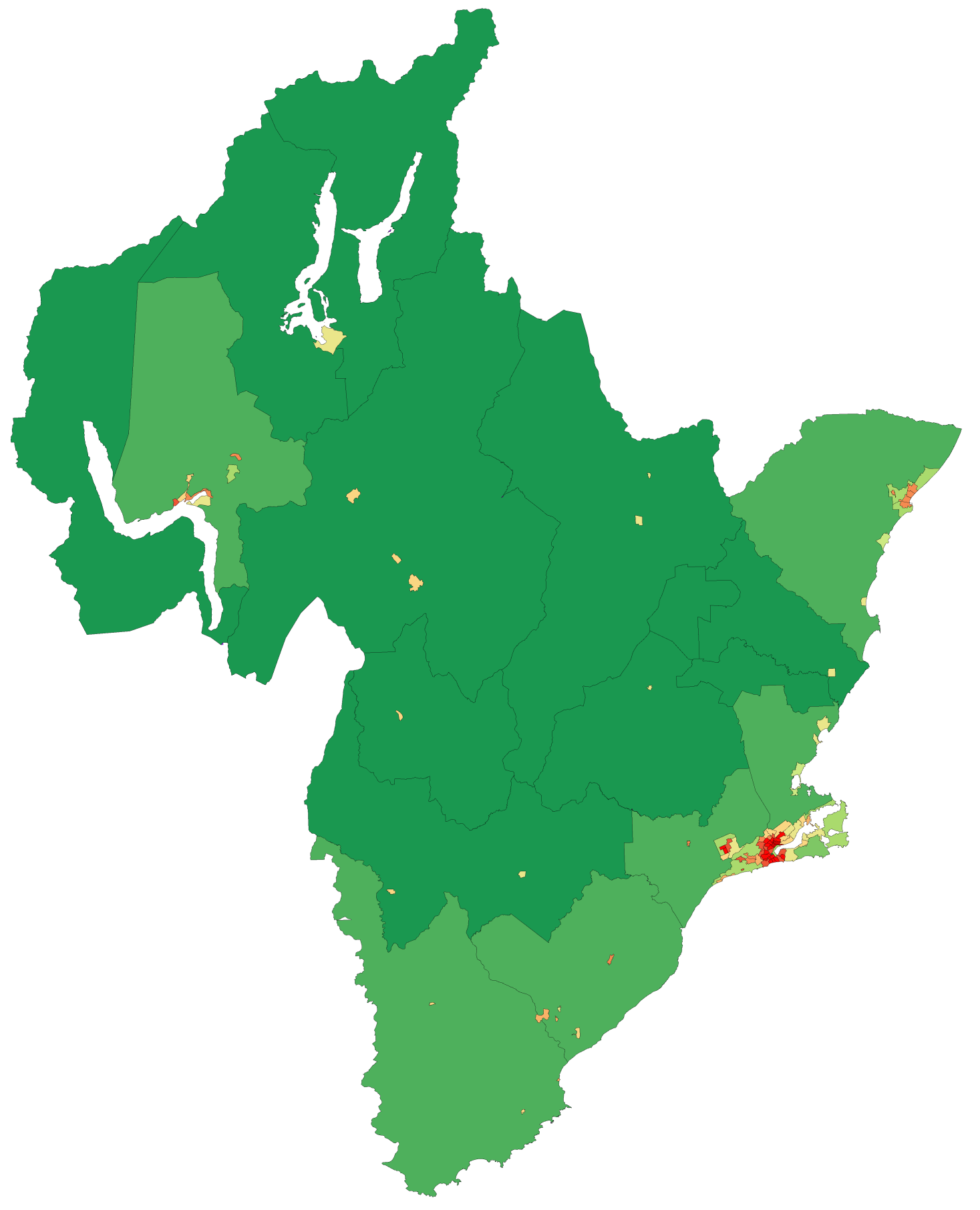
| current | 04:44, 8 May 2008 | | 1,467 × 1,811 (182 KB) | commons>Vardion | {{Information |Description=Map showing population density of a region of New Zealand (by Statistics NZ Area Unit) as of the 2006 census |Source=self-made, using data from Statistics NZ and an existing colourscheme for such maps |Date=8 May 2008 |Author= [ |
File usage
There are no pages that use this file.