File:Orienteringskort bygholm 2005.PNG
Jump to navigation
Jump to search

Size of this preview: 800 × 498 pixels. Other resolutions: 320 × 199 pixels | 640 × 399 pixels | 1,024 × 638 pixels | 1,280 × 797 pixels | 2,335 × 1,454 pixels.
Original file (2,335 × 1,454 pixels, file size: 3.64 MB, MIME type: image/png)
File history
Click on a date/time to view the file as it appeared at that time.
| Date/Time | Thumbnail | Dimensions | User | Comment | |
|---|---|---|---|---|---|
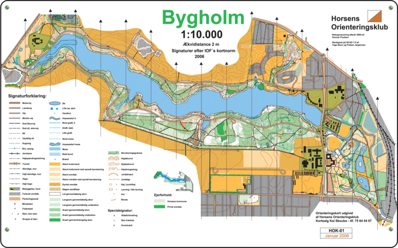
| current | 17:28, 26 December 2006 | | 2,335 × 1,454 (3.64 MB) | commons>Szczepan1990 | == Summary == da: Orienteringskort (o-kort) over Bygholm Skov ved Horsens. Uploadet med tilladelse fra Horsens Orienteringsklub, v/ fmd. Lars Sørensen. Rekognosceret af Gunnar Poulsen. Tegnet af Tage Baun og Preben Jørgensen. en: Orienteering map o |
File usage
There are no pages that use this file.