File:Omar 2020 path.png
Jump to navigation
Jump to search

Size of this preview: 800 × 494 pixels. Other resolutions: 320 × 198 pixels | 640 × 395 pixels | 1,024 × 633 pixels | 1,280 × 791 pixels | 2,700 × 1,668 pixels.
Original file (2,700 × 1,668 pixels, file size: 3.21 MB, MIME type: image/png)
File history
Click on a date/time to view the file as it appeared at that time.
| Date/Time | Thumbnail | Dimensions | User | Comment | |
|---|---|---|---|---|---|
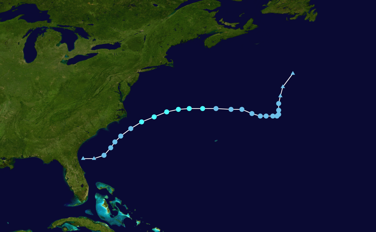
| current | 06:00, 30 January 2024 | | 2,700 × 1,668 (3.21 MB) | commons>2003 LN6 | {{WPTC track map | author = 2003 LN6 | name = Tropical Storm Omar | article = 2020 Atlantic hurricane season#Tropical Storm Omar | season = 2020 Atlantic hurricane season |colors=new | start = 2020-08-30 | end = 2020-09-06 | source = NHC | catname = Tropical Storm Omar (2020) | code = AL152020, OMAR, 27, 20200830, 1800, , LO, 30.2N, 80.7W, 25, 1011, 0, 0, 0, 0, 0, 0, 0, 0, 0, 0, 0, 0, NHC, 20200831, 0000, , LO, 30.2N, 79.... |
File usage
There are no pages that use this file.