File:Ok-51 path.png
Jump to navigation
Jump to search

Size of this preview: 800 × 488 pixels. Other resolutions: 320 × 195 pixels | 640 × 391 pixels | 944 × 576 pixels.
Original file (944 × 576 pixels, file size: 65 KB, MIME type: image/png)
File history
Click on a date/time to view the file as it appeared at that time.
| Date/Time | Thumbnail | Dimensions | User | Comment | |
|---|---|---|---|---|---|
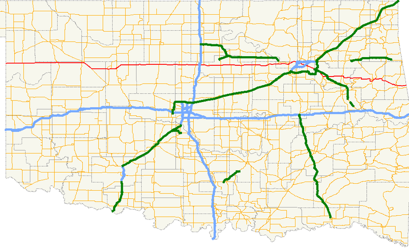
| current | 18:38, 23 February 2007 | | 944 × 576 (65 KB) | commons>Scott5114 | {{Information |Description=A map showing the path of State Highway 51 and its spurs in Oklahoma. |Source=Created by me in Quantum GIS 0.8.0 based on data collected from http://www.geo.ou.edu/. |Date=23 February [[2007] |
File usage
There are no pages that use this file.