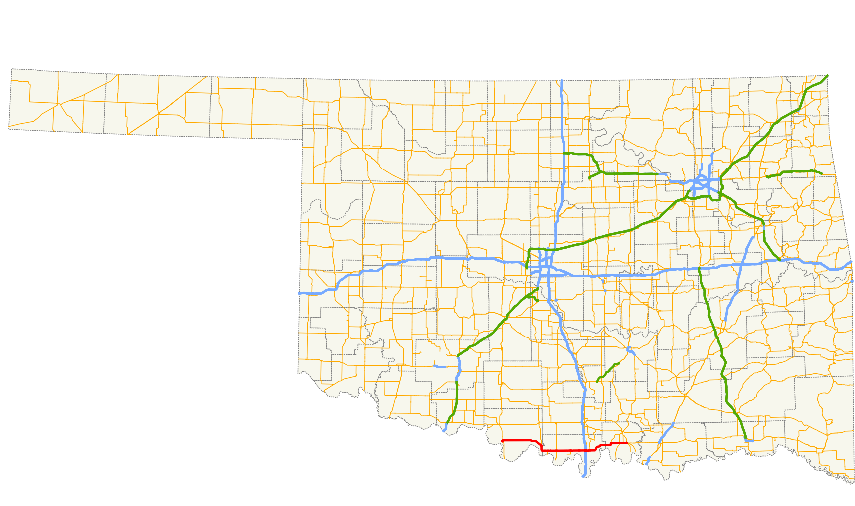
File:Ok-32 path.png
Jump to navigation
Jump to search
Size of this preview: 800 × 474 pixels. Other resolutions: 320 × 190 pixels | 640 × 379 pixels | 1,024 × 607 pixels | 1,712 × 1,015 pixels.
Original file (1,712 × 1,015 pixels, file size: 532 KB, MIME type: image/png)
File history
Click on a date/time to view the file as it appeared at that time.
| Date/Time | Thumbnail | Dimensions | User | Comment | |
|---|---|---|---|---|---|
| current | 16:12, 2 April 2010 | | 1,712 × 1,015 (532 KB) | commons>Scott5114 | {{Information |Description=A map showing the path of State Highway 32 in Oklahoma. |Source=Created by me in Quantum GIS 1.3.0 based on data collected from http://www.odot.org {{QGIS}} |Date=2010-04-01 |Author=[[User:Scott5 |
File usage
There are no pages that use this file.