File:OceaniaLocation.svg
Jump to navigation
Jump to search

Size of this PNG preview of this SVG file: 463 × 236 pixels. Other resolutions: 320 × 163 pixels | 640 × 326 pixels | 1,024 × 522 pixels | 1,280 × 652 pixels | 2,560 × 1,305 pixels.
Original file (SVG file, nominally 463 × 236 pixels, file size: 290 KB)
File history
Click on a date/time to view the file as it appeared at that time.
| Date/Time | Thumbnail | Dimensions | User | Comment | |
|---|---|---|---|---|---|
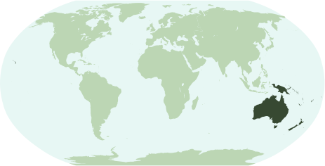
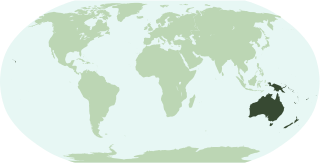
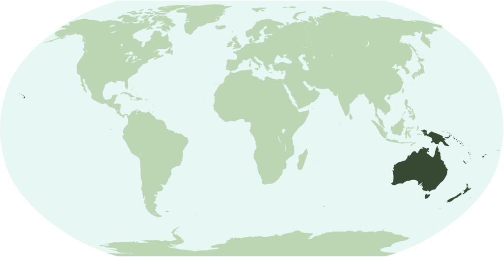
| current | 23:26, 14 January 2007 | | 463 × 236 (290 KB) | commons>Notscott | {{en}} Map showing the location of the region/continent of Oceania (including all pacific islands and Hawaii). {{ia}} Mapa monstrante le location del region/continente de Oceania (includinte omne insulas pacific e Hawai). {{fr}} Carte pour démontrer la l |
File usage
There are no pages that use this file.