File:Nykøbing map 1670.jpg
Jump to navigation
Jump to search
No higher resolution available.
Nykøbing_map_1670.jpg (535 × 364 pixels, file size: 151 KB, MIME type: image/jpeg)
File history
Click on a date/time to view the file as it appeared at that time.
| Date/Time | Thumbnail | Dimensions | User | Comment | |
|---|---|---|---|---|---|
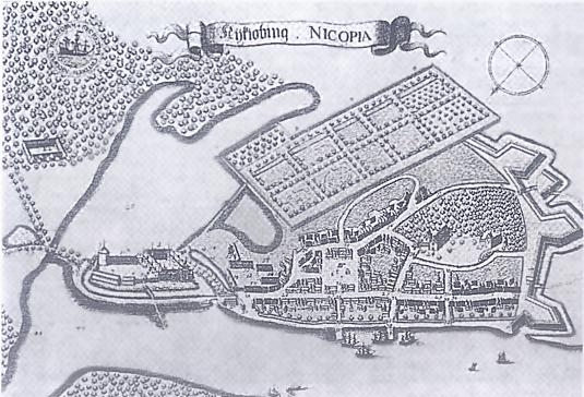
| current | 11:01, 6 December 2012 | | 535 × 364 (151 KB) | commons>Ipigott | {{Information |Description ={{en|1=Map of Nykøbing Falster from Resen's Atlas Danicus.}} |Source =http://www.danskmoent.dk/artikler/stig1289.htm |Author =Peder Hansen Resen |Date =1670 |Permission = |other_versions = }... |
File usage
There are no pages that use this file.