File:North pole map.jpeg
Jump to navigation
Jump to search

Size of this preview: 563 × 600 pixels. Other resolutions: 225 × 240 pixels | 451 × 480 pixels | 721 × 768 pixels | 1,200 × 1,278 pixels.
Original file (1,200 × 1,278 pixels, file size: 1,022 KB, MIME type: image/jpeg)
Summary
| Description |
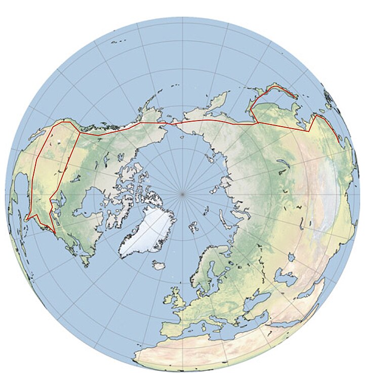
English: North Pole view of the earth |
| Date |
14 Feb 16 |
| Source | http://earthobservatory.nasa.gov/blogs/elegantfigures/2010/09/27/g-projector/ |
| Author | 20px|link=User:Kcida10|Kcida10 Kcida10 (talk) (Uploads). |
| Permission (Reusing this file) |
NASA |
Licensing
| This file is in the public domain in the United States because it was solely created by NASA. NASA copyright policy states that "NASA material is not protected by copyright unless noted". (See Template:PD-USGov, NASA copyright policy page or JPL Image Use Policy.) | ||
 |
Warnings:
|
Original upload log
The original description page was here. All following user names refer to en.wikipedia.
| Date/Time | Dimensions | User | Comment |
|---|---|---|---|
| 2016-02-15 04:25 | 1200×1278× (1046171 bytes) | Kcida10 | added to NASA {{cc-zero}} work |
| 2016-02-15 04:12 | 468×468× (76438 bytes) | Kcida10 | {{Information | Description = North Pole view of the earth | Source = http://earthobservatory.nasa.gov/blogs/elegantfigures/2010/09/27/g-projector/ | Date = 14 Feb 16 | Author = [[File:Wikideas.jpeg|20px|link=User:Kcida10... |
File history
Click on a date/time to view the file as it appeared at that time.
| Date/Time | Thumbnail | Dimensions | User | Comment | |
|---|---|---|---|---|---|
| current | 04:26, 4 March 2016 | | 1,200 × 1,278 (1,022 KB) | commons>OgreBot | (BOT): Reverting to most recent version before archival |
File usage
There are no pages that use this file.