File:North Lanarkshire UK relief location map.jpg
Jump to navigation
Jump to search
Size of this preview: 509 × 600 pixels. Other resolutions: 204 × 240 pixels | 407 × 480 pixels | 652 × 768 pixels | 869 × 1,024 pixels | 2,001 × 2,357 pixels.
Original file (2,001 × 2,357 pixels, file size: 404 KB, MIME type: image/jpeg)
| Description |
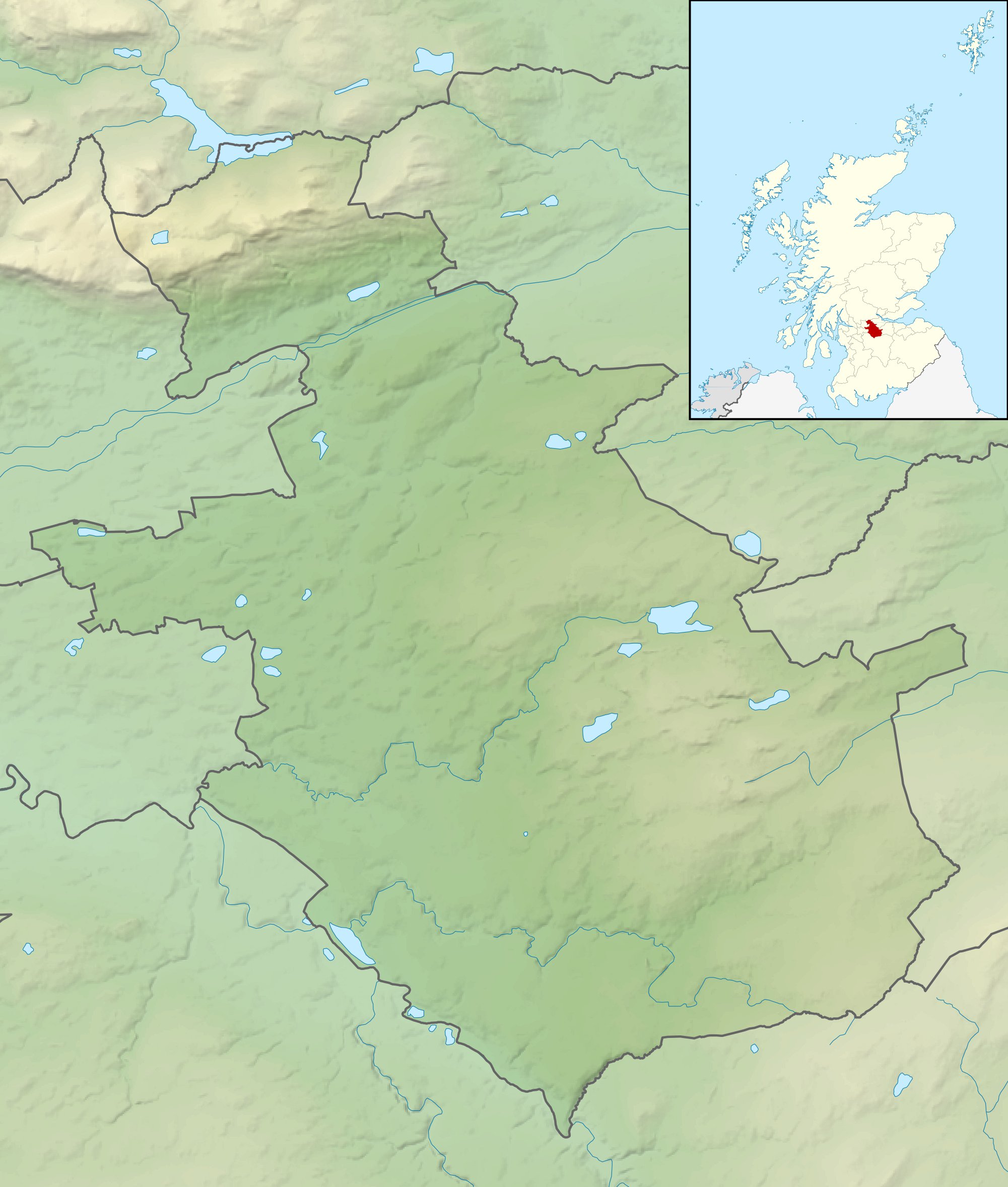
Relief map of North Lanarkshire, UK. Equirectangular map projection on WGS 84 datum, with N/S stretched 175% Geographic limits:
|
| Date | |
| Source |
|
| Author | Nilfanion, created using Ordnance Survey data |
| Permission (Reusing this file) |
This file is licensed under the Creative Commons Attribution-Share Alike 3.0 Unported license. Attribution: Contains Ordnance Survey data © Crown copyright and database right
|
| Other versions | File:North Lanarkshire UK blank map.svg - Blank map |
File history
Click on a date/time to view the file as it appeared at that time.
| Date/Time | Thumbnail | Dimensions | User | Comment | |
|---|---|---|---|---|---|
| current | 12:25, 30 November 2011 | | 2,001 × 2,357 (404 KB) | commons>Nilfanion | {{Information |Description=Relief map of North Lanarkshire, UK. Equirectangular map projection on WGS 84 datum, with N/S stretched 175% Geographic limits: *West: 4.21W *East: 3.69W *North: 56.07N *South: 55.72N |Source=[[w:Ordnan |
File usage
There are no pages that use this file.